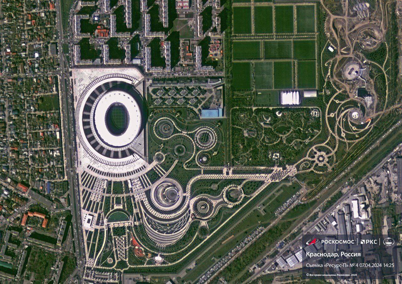
Shvabe’s electro-optical equipment allows creating high precision terrain maps and detecting emergency areas. The equipment is able to identify objects about 1 meter in size from space. The system started working on Resurs-P Earth remote-sensing satellite No.4 that was placed into orbit on 31 March.
The Geoton-L1 electro-optical long-focus lens system recognizes objects from 70 cm in size at a distance of 475 km from the planetary surface to a high degree of confidence. Capabilities of the equipment to make monochrome images with a resolution of about one meter are used to identify terrain details and textures. Information about the Earth’s surface properties is got through observation in various wavelength ranges.
The Geoton-L1 has been created by Zverev Plant in Krasnogorsk (KMZ). The equipment includes the Aktiniy-4AG large lens designed by Lytkarino Optical Glass Factory. The lens ensures highly detailed land imaging in the near-real time mode.
In addition, the Resurs-P satellite is equipped with the GAW (Global Atmosphere Watch) hyperspectral system made by KMZ. It is designed to acquire Earth’s land images in at least 120 narrow wavelength ranges. The images facilitate spectral analysis of atmosphere, forests, crops, soil, geological features, and determination of soil moisture and structure, agricultural plant diseases, water body pollution level, etc.

